A few days ago,  Phil pointed out
  Terragen to me. I think he saw it on
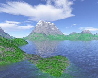
  BoingBoing. I've been watching Phil play with the program -- he's produced three or four increasingly rich images. The key is understanding how to create child layers in the surface map, which allow you to differentially apply patterns to different regions of the map. Here's my first try.

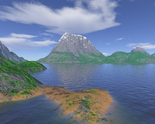
I was really pleased. I made it the background of my monitor (replacing the Lilo and Stitch graphics I've been using for months). But after I'd looked at it for a bit, I thought I could do better. I decided the low feature in the foreground should be sandy-colored and the vegetation should be a bit thinner. I added a new child layer and played with the parameters a bit and came up with this one:

 http://revo.bierfaristo.com/images/terragen/myplace2.png
I'm even more pleased. One limitation is the lack of a model for vegetation. Without something with a more biological shape, it looks like the vegetation clings to the ground -- it makes me think of what the earth must have looked like prior to the evolution of vascular plants. Another limitation is that although it's easy to to have regions vary by altitude, but not by orientation -- mountains produce orographic shadows where the moisture and temperature regimes are different than on the other side. Currently these cannot be represented effectively.
In spite of those limitations, I think I can do still better. But not today.